Back
Geospatial Data Annotation Outsourcing Philippines: Powering Location Intelligence with Human Precision

By Ralf Ellspermann / 17 March 2026
 Authored by Ralf Ellspermann, CSO of PITON-Global, & 25-Year Philippine BPO Veteran | Executive | Verified by John Maczynski, CEO of PITON-Global, and Former Global EVP of the World's Largest BPO Provider on March 17, 2026

TL;DR: The Key Takeaway
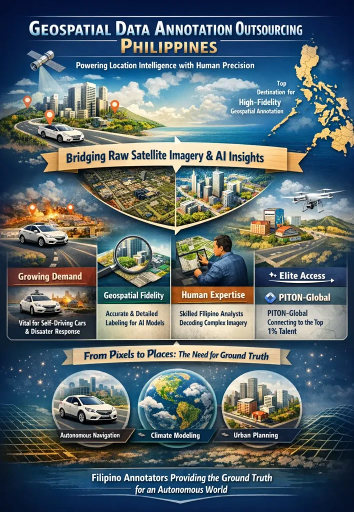
Geospatial data annotation outsourcing has moved beyond simple map tracing to become a critical source of ground truth for AI-powered location intelligence. The Philippines is the premier destination for this work, offering the expert human cognition needed to interpret complex satellite and aerial imagery with high fidelity.
High-fidelity geospatial data annotation in the Philippines bridges the gap between raw satellite imagery and actionable AI. By leveraging a specialized workforce to label LiDAR and aerial data, organizations achieve the “ground truth” necessary for autonomous navigation, climate modeling, and urban planning, ensuring machine learning models operate with world-class spatial accuracy.
- Growing Demand: Precision labeling is essential for autonomous vehicles and disaster response systems.
- Geospatial Fidelity: Success is measured by how accurately digital labels mirror complex physical realities.
- Strategic Hub: The Philippines leads the sector by combining technical literacy with deep analytical reasoning.
- Human Element: Expert Filipino annotators interpret nuances in imagery that automated tools consistently miss.
- Elite Access: PITON-Global connects innovation leaders with the top 1% of specialized geographic data talent.
From Pixels to Places: The New Imperative for Geospatial Truth
The digital maps powering our devices and the satellite feeds informing global news are merely surface-level representations of a dense, multifaceted reality. For an artificial intelligence to successfully navigate a metropolitan grid, streamline a global supply chain, or track ecological shifts, it requires more than a simple visual; it needs a structured, mathematically coherent framework of the environment. Solving this transition from image to insight is the primary function of geospatial data annotation. This human-led endeavor involves tagging, categorizing, and enhancing geographic information so that algorithms can process it effectively.
Early iterations of this discipline were relatively basic, focused largely on tracing highway centerlines or outlining building perimeters. Yet, as neural networks have matured, their appetite for sophisticated data has intensified. Modern applications now call for a level of granular detail and contextual awareness that far exceeds simple object detection. A self-driving system, for instance, must distinguish a deep pothole from a harmless shadow or a pedestrian from a static pole while simultaneously reading the rhythm of local traffic. Similarly, software monitoring forest health must differentiate between species of timber and recognize the subtle markers of unauthorized logging. Such high-stakes interpretation demands human cognition. It requires specialists who can decode blurry pixels, grasp the spatial relationships within a scene, and provide the definitive “ground truth” that allows AI to view the world as an interconnected ecosystem rather than a flat grid.
“We have witnessed a fundamental transformation in what clients expect from geospatial initiatives. The days of simple map digitization are over. Our partners are now engineering complex AI for everything from drone logistics to predictive climate science, demanding training sets with near-absolute fidelity. They turn to us to secure the elite talent in the Philippines capable of providing that essential human verification, ensuring their technology is reliable enough for high-stakes, real-world execution.” — John Maczynski, CEO, PITON-Global
The Geospatial Fidelity Spectrum: From Basic Overlays to Semantic Understanding
Geographic data is not a monolithic commodity; it exists across a broad spectrum of “fidelity.” At the entry level, we find basic data overlays, such as pinning landmarks on a digital interface. While functional, this offers minimal depth. Moving across the spectrum, the complexity—and the resulting value—climbs sharply. The peak of this scale involves semantic segmentation and the development of immersive digital twins. At this expert level, the specialized skills of Filipino annotation professionals become a critical asset.
Recognizing where a project sits on this spectrum is vital for any firm integrating location-based AI. A retail chain selecting new storefronts might only need moderate fidelity, whereas a robotics program for autonomous transit requires total semantic immersion. Matching the level of annotation to specific strategic goals is the only way to ensure a meaningful return on investment. The table below outlines the progression of fidelity and the corresponding expertise required.
Geospatial Fidelity and Expertise Mapping
| Fidelity Level | Annotation Task Examples | Required Expertise | Strategic Application |
| Level 1: Foundational | Tagging points of interest, tracing simple road paths. | Basic computer skills, high attention to detail. | Basic cartography, simple asset tracking. |
| Level 2: Intermediate | Polygon-based land use classification, building footprints. | Software proficiency, aerial imagery interpretation. | Urban planning, regional market analysis. |
| Level 3: Advanced | Semantic segmentation of satellite feeds, 3D LiDAR labeling. | Domain expertise (geology, botany), advanced tool mastery. | Precision farming, environmental oversight. |
| Level 4: Expert | Multi-temporal change detection, relational infrastructure mapping. | Deep analytical reasoning, QA leadership, domain specialization. | Climate modeling, autonomous navigation, disaster simulation. |
Intelligence Arbitrage: The Human Element of Location Intelligence
In the realm of geographic data, the concept of “Intelligence Arbitrage” takes on a unique significance. While modern algorithms can ingest massive volumes of visual data, they lack the human intuition needed to weigh context or infer logic from incomplete sets. This is where the strategic advantage of a cognitively skilled workforce manifests. The benefit is not merely found in reduced operational costs; it lies in the infusion of human judgment into the machine learning pipeline, resulting in significantly more dependable models.
Take the task of tracking urban expansion via satellite. An AI might identify a new structure but struggle to tell a permanent building apart from a temporary festival tent. It may fail to recognize that a fresh stretch of pavement is a vital link in a larger civic project. A human specialist, applying real-world logic and deductive reasoning, makes these distinctions effortlessly. They spot the patterns that reveal a development’s true purpose, offering the rich context that allows an AI to evolve from simple detection to genuine spatial awareness. This “human-in-the-loop” methodology—the very heart of the geospatial data annotation outsourcing industry in the Philippines—is what converts raw imagery into true location intelligence.
Complexity and Value Matrix
The strategic utility of geospatial data scales in direct proportion to the complexity of the task and the mental effort applied. As firms transition from descriptive mapping toward predictive systems, their data needs grow exponentially more rigorous. This matrix explores the link between task difficulty and the resulting strategic power.
| Complexity Tier | Annotation Task | Cognitive Skills | Strategic Value |
| Tier 1: Descriptive | Identifying static objects (water, roads, buildings). | Pattern recognition, focus. | Foundational maps, inventory management. |
| Tier 2: Interpretive | Classifying land types, assessing crop health. | Contextual logic, urban/agri domain knowledge. | Situational awareness, resource optimization. |
| Tier 3: Analytical | Temporal change detection (erosion, sprawl). | Synthesis of sources, temporal analysis. | Risk assessment, trend forecasting. |
| Tier 4: Predictive | Training autonomous systems, simulating climate impact. | Critical thinking, scenario modeling, deep expertise. | Autonomous operations, optimized decision-making. |
The Future of Geospatial Annotation: A Global Corridor for Ground Truth
As our physical environment becomes more digitally connected, the appetite for high-fidelity spatial data will only intensify. The coming decade will usher in an era of “autonomous everything,” where vehicles, delivery drones, and entire supply chains rely on a living, semantically detailed map of the world. Building “digital twins”—virtual mirrors of real cities and systems—will require a non-stop flow of precisely labeled data to stay relevant. In this future, the human role in the data loop will shift from important to mandatory.
The Philippines is uniquely positioned to anchor this global shift. Its robust business process outsourcing (BPO) landscape, paired with an immense pool of analytical talent, makes it the premier partner for pioneers in geospatial AI. The nation has moved beyond being a simple service provider; it is now a specialized data-sovereign corridor where the ground truth for an autonomous world is established. As AI takes the wheel in more real-world scenarios, the human-centric validation provided by Filipino experts will be the bedrock of safety and reliability.
Expert FAQs
Q1: What is fueling the surge in demand for geospatial data annotation?
Growth is primarily driven by the maturation of AI sectors that require an intimate understanding of physical space. Key industries include autonomous transit for safe routing, precision agriculture for yield management, and climate science for high-resolution environmental monitoring. These fields depend on training data that only human experts can verify with total accuracy.
Q2: How does this discipline differ from standard image labeling?
Geographic data is uniquely multi-dimensional. Unlike tagging photos of consumer goods, this work involves multi-spectral satellite feeds and 3D LiDAR point clouds. Specialists must understand an object’s identity, its precise three-dimensional coordinates, and its relationship to its surroundings, requiring far higher technical and analytical aptitude.
Q3: What exactly is “geospatial fidelity”?
This term describes the depth and precision of annotated data. It is a metric of how closely the digital label matches the physical reality. High fidelity is non-negotiable for mission-critical tasks where a labeling error could result in a navigation failure or an inaccurate disaster response.
Q4: Why has the Philippines become the top destination for this work?
The country provides a rare mix of high English proficiency, a culture of precision, and an established infrastructure for large-scale operations. Most importantly, the local talent pool possesses the specific analytical mindset needed to handle the interpretive challenges of complex spatial data.
Achieve sustainable growth with world-class BPO solutions!
PITON-Global connects you with industry-leading outsourcing providers to enhance customer experience, lower costs, and drive business success.
Get Your Top 1% Vendor List
Author
Ralf Ellspermann is a multi-awarded outsourcing executive with 25+ years of call center and BPO leadership in the Philippines, helping 500+ high-growth and mid-market companies scale call center and customer experience operations across financial services, fintech, insurance, healthcare, technology, travel, utilities, and social media.
A globally recognized industry authority—and a contributor to The Times of India and CustomerThink —he advises organizations on building compliant, high-performance offshore contact center operations that deliver measurable cost savings and sustained competitive advantage.
Known for his execution-first approach, Ralf bridges strategy and operations to turn call center and business process outsourcing into a true growth engine. His work consistently drives faster market entry, lower risk, and long-term operational resilience for global brands.
EXECUTIVE GOVERNANCE & ACCURACY STANDARDS
Authored by:

Ralf Ellspermann
Founder & CSO of PITON-Global,
25-Year Philippine BPO Veteran,
Multi-awarded Executive
Specializing in strategic sourcing and excellence in Manila
View Full Bio
Verified by:

John Maczynski
CEO of PITON-Global, and former Global EVP of the World’s largest BPO provider | 40 Years Experience
Ensuring global compliance and enterprise-grade service standards
View Full Bio
Last Peer Review: March 17, 2026
This service framework is audited quarterly to meet shifting global outsourcing regulations and COPC standards.